Code
library(sf)
library(tidyverse)library(sf)
library(tidyverse)id.counties <- tigris::counties(state = "ID", progress_bar=FALSE)
id.centroid <- st_centroid(id.counties)
id.pointonsurf <- st_point_on_surface(id.counties)plot(st_geometry(id.counties))
plot(st_geometry(id.centroid), col="blue", add=TRUE)
plot(st_geometry(id.pointonsurf), col="red", add=TRUE)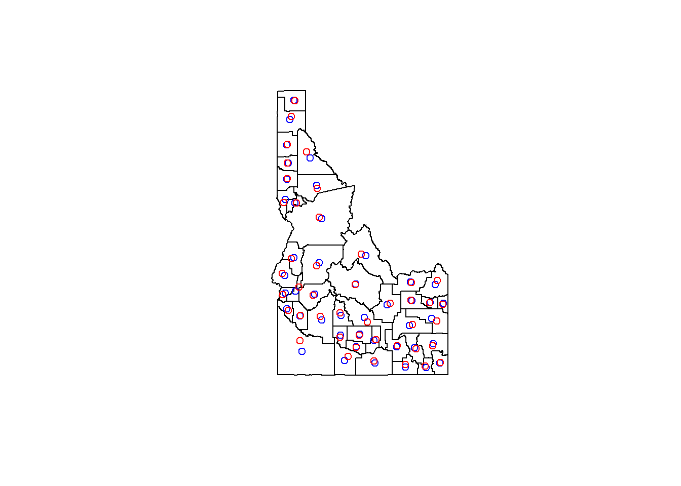
system.time(poly_dist <- st_distance(id.counties)) user system elapsed
4.32 0.03 4.36 system.time(cent_dist <- st_distance(id.centroid)) user system elapsed
0.00 0.00 0.01 system.time(pos_dist <- st_distance(id.pointonsurf)) user system elapsed
0.02 0.00 0.00 # get roads data
roads <- tigris::primary_secondary_roads("ID", progress_bar=FALSE)
# get a polygon of Ada county
ada.cty <- filter(id.counties, NAME == "Ada")
# find all road sections within Ada county
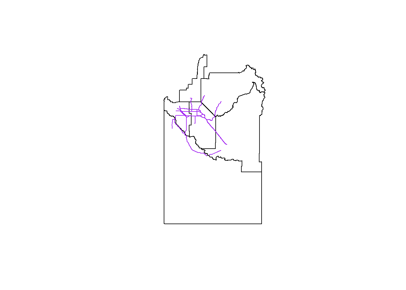
ada.roads <- st_intersection(roads, ada.cty)# plot result
plot(st_geometry(ada.cty))
plot(st_geometry(ada.roads), col="purple", add=TRUE)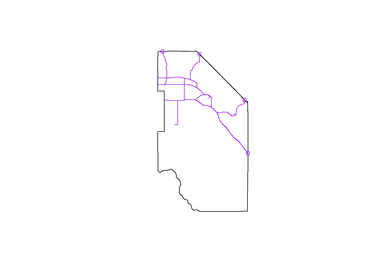
# check the units of the CRS
st_crs(id.centroid)
Coordinate Reference System:
User input: NAD83
wkt:
GEOGCRS["NAD83",
DATUM["North American Datum 1983",
ELLIPSOID["GRS 1980",6378137,298.257222101,
LENGTHUNIT["metre",1]]],
PRIMEM["Greenwich",0,
ANGLEUNIT["degree",0.0174532925199433]],
CS[ellipsoidal,2],
AXIS["latitude",north,
ORDER[1],
ANGLEUNIT["degree",0.0174532925199433]],
AXIS["longitude",east,
ORDER[2],
ANGLEUNIT["degree",0.0174532925199433]],
ID["EPSG",4269]]# create a 50km buffer around the centroid of Ada county
ada.cent <- filter(id.centroid, NAME == "Ada")
ada.buff <- st_buffer(ada.cent, dist = 50000)# get roads within buffer zone
roads.buff <- st_intersection(roads, ada.buff)# plot result
plot(st_geometry(roads.buff))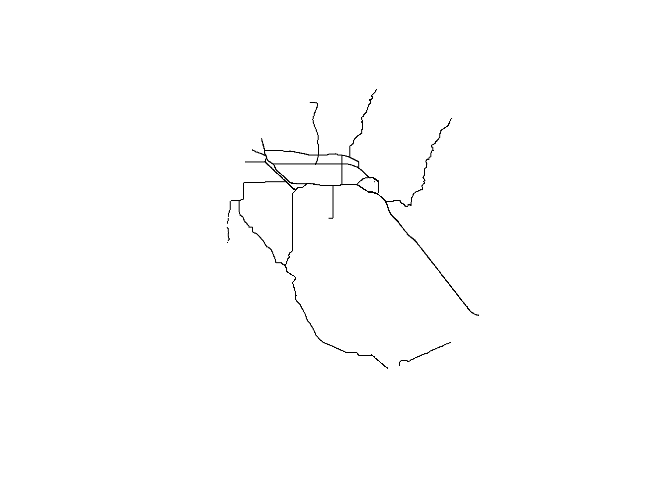
If we want to plot county boundaries, st_intersection won’t work. We’ll only get parts of each county polygon:
cty.buff <- st_intersection(id.counties, ada.buff)
plot(st_geometry(cty.buff))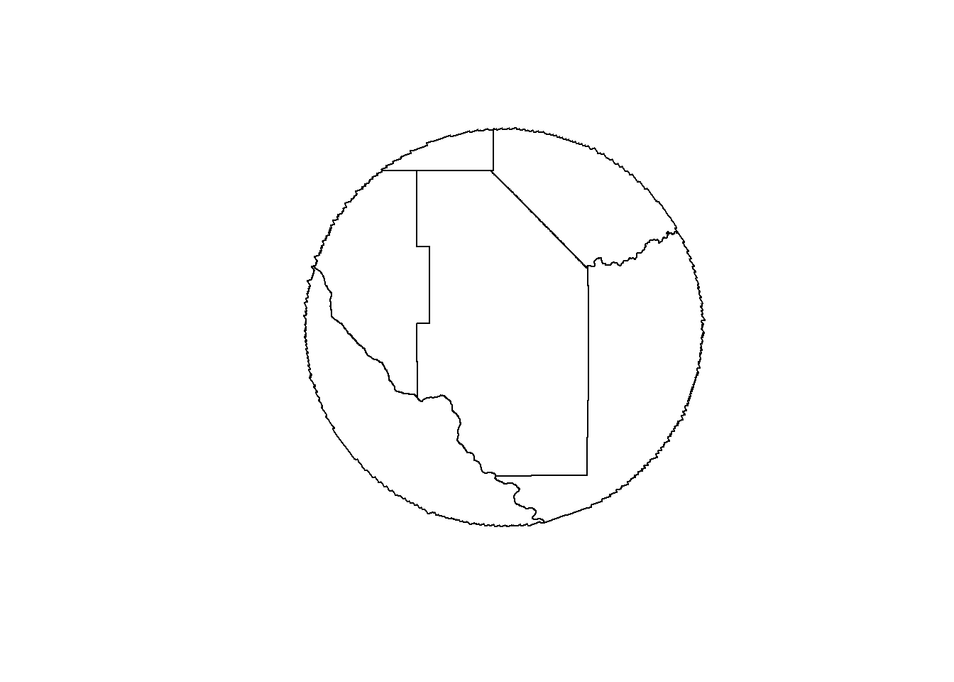
Back to predicates!
# find counties that intersect with buffer
cty.50 <- st_intersects(id.counties, ada.buff, sparse = FALSE)
# convert to vector so filter is happy
cty.50 <- as.vector(cty.50)

# get counties that intersect buffer
map.counties <- filter(id.counties, cty.50)# plot result
plot(map.counties$geometry)
plot(st_geometry(roads.buff), col="purple", add=TRUE)